Drone Inspection Calculators
Free calculators to plan capture correctly the first time, from ground sampling distance to flight parameters — so your data is inspection-grade before you leave the site.
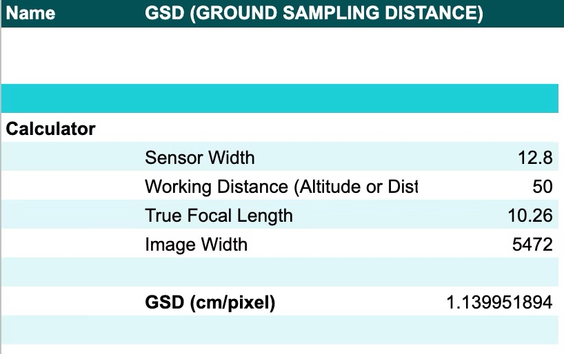
Plan capture with confidence
Getting resolution and coverage right at the planning stage is what makes a model measurable later. These calculators help you work out the settings that determine data quality, so you avoid a return visit.
What you can calculate
- Ground sampling distance (GSD) — the real-world size each pixel represents, and the main lever on how small a defect you can resolve.
- Flight and capture parameters — altitude, overlap, and related settings for consistent, repeatable capture.
Use these before you fly
Run the numbers before capture so the resulting model supports the measurements and AI analysis you'll need.